ESA User Services powered by Open Source
Created by:
Stephan Meissl, Thomas Bonfort, and Fabian Schindler

This work is licensed under a Creative Commons Attribution 3.0 Unported License.
Outline
- ESA User Services - ngEO
- ngEO Browse Server
- MapCache Enhancements
- Live Demonstration
ESA User Services - ngEO
- Operational Fully Online Data Access Service
- GMES and ESA Legacy Satellite Missions
- Fully Centralised Configuration Management
- Generic System usable for any Mission
ngEO Browse Server - Architecture
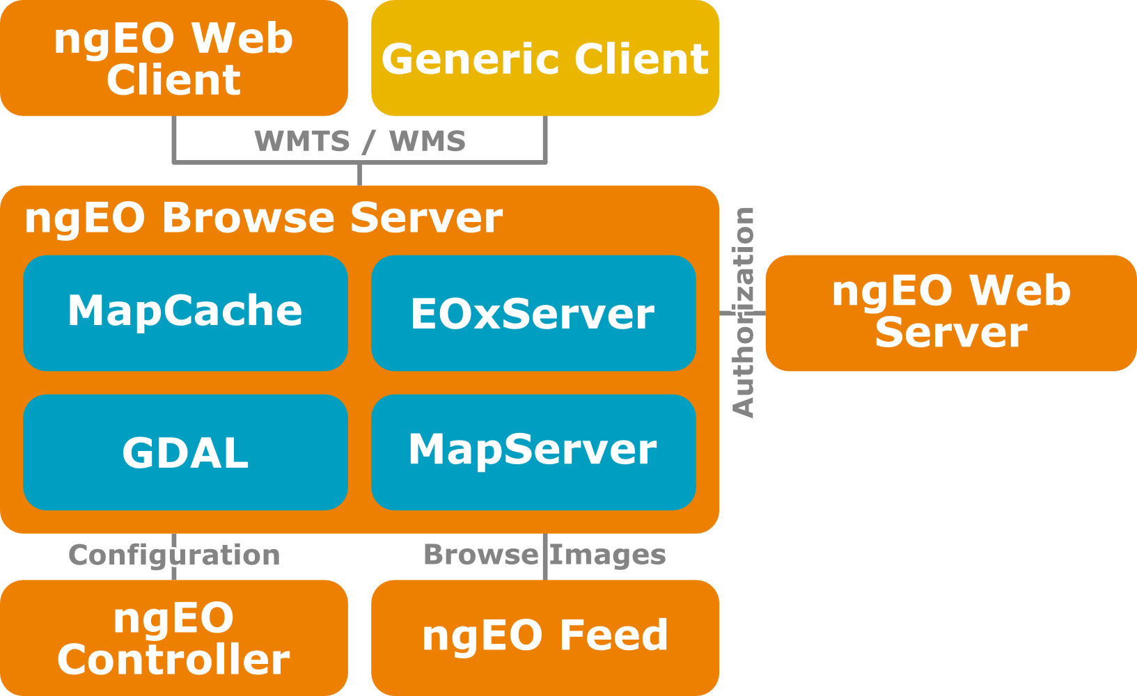
ngEO Browse Server
- Entirely based on Open Source Software
- OGC's WMTS and WMS Standards
- Configuration from ngEO Controller
- Data ingested by ngEO FEED
- Authentication using Shibboleth
- Authorization from ngEO Web Server
Preprocessing
- Input Geographic Metadata for Geo-referencing
- Footprint polygon
- Regular grid of tiepoints
- Pre-georeferenced images
- Optimizations
- Footprint generation
- Re-projection
- Addition of alpha-channel
- Internal tilling
- Overviews
- Compression
MapCache Enhancements
Time dimension support
    ...

        /var/ngeob_data/mapcache.sqlite
        select strftime('%Y-%m-%dT%H:%M:%SZ',start_time)||'/'||strftime('%Y-%m-%dT%H:%M:%SZ',end_time) from time where source_id=:tileset and start_time<=datetime(:end_timestamp,'unixepoch') and end_time>=datetime(:start_timestamp,'unixepoch') and maxx>=:minx and maxy>=:miny and minx<=:maxx and miny<=:maxy order by end_time limit 100
Visual representations of search results e.g. single browses or all browses in a specific time interval
Read-only functionality
    ...
    true
Absent tiles are considered empty instead of being sent to WMS for generation
Configure max-cached-zoom
    ...

        WGS84
Dynamically create high resolution tiles from lower resolution ones
Storage optimization e.g. detect_blank
    foss4g.sqlite
    true
9 bytes stored per tile (hex quadruplet). Dynamically returned as a 132 byte PNG.
Demonstration
Live
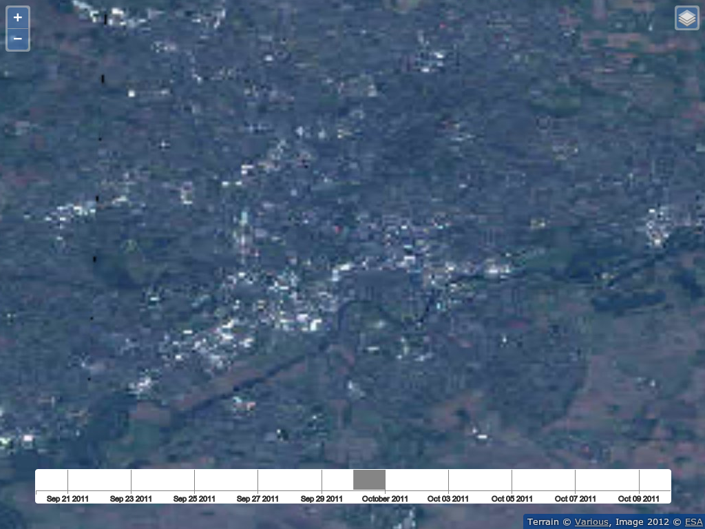
Time Slider
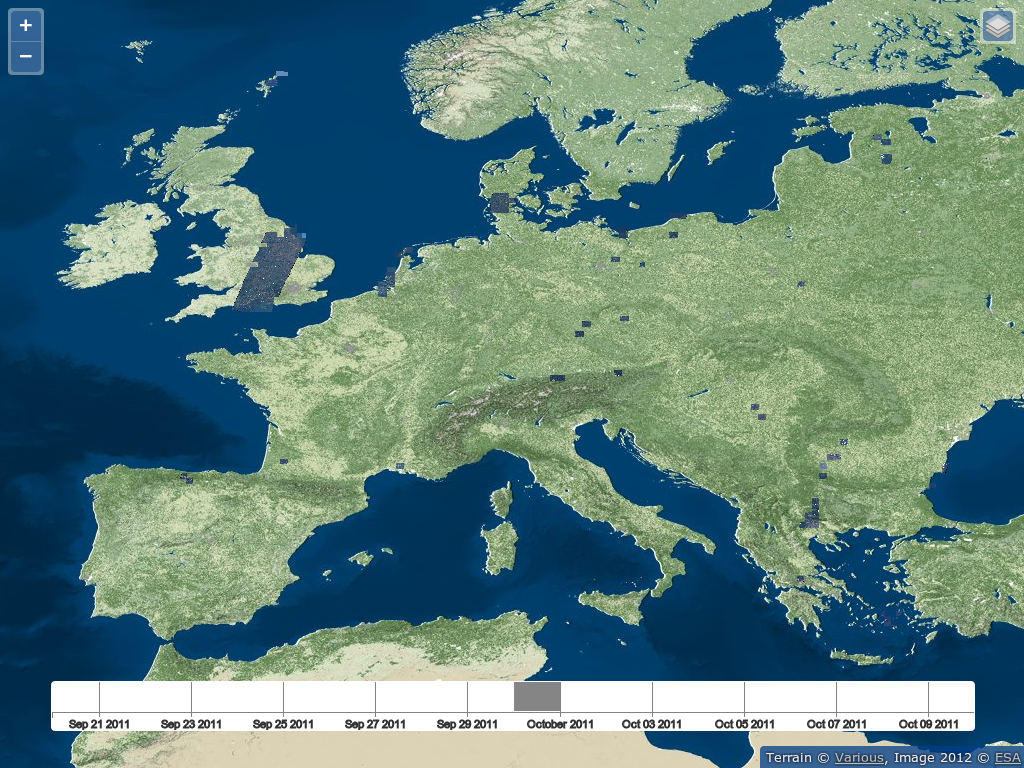
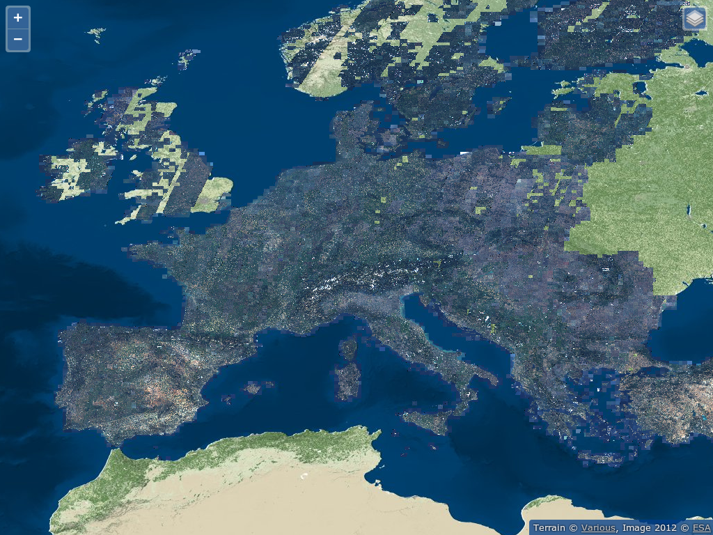
Entire Dataset
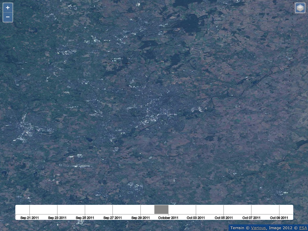
Nottingham
max-cached-zoom
Conclusions
- Mature Open Source Software building blocks for operational software exist
- Open Source software allows for flexible adaptations where required
- New Functionality is fed back to the communities
- Time axis is important
Acknowledgement

Funding has been provided by the European Space Agency (ESA) in the frame of the ngEO project.
Thank you for your Attention

This work is licensed under a Creative Commons Attribution 3.0 Unported License.

